Last Minute Notes
Registration information will shortly be sent out to riders on the "Interested Riders List"
Registration information will shortly be sent out to riders on the "Interested Riders List"
Request for volunteers will be opened up shortly on this page.
There will be 1200k and 1300k options as well a 1000k+200k.
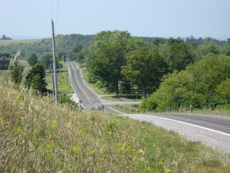
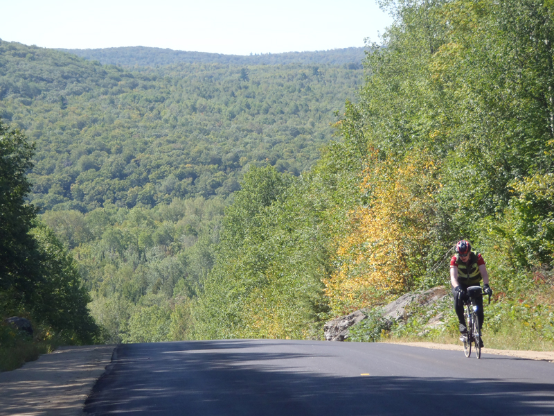
The 2025 Granite Anvil will start in Barrie, north of Toronto, go to Bancroft the first day, have two loops from Bancroft to Bancroft and then return to Barrie. The three nights in Bancroft are part of the registration fee.
Days 1,2,3,4 will be roughly 400k, 300k, 260k, 240k. (These could change!)
At 1200k, the time limit will be 90 hours with the actual time limit depending on the final distance.
At 1300k, the time limit will be 108:20 with the actual time limit depending on the final distance.
The 1000k falls under ACP rules with a set time limit of 75:00.
With a 4am start on Wednesday August 20, the 1000k cutoff would be 7am on Saturday August 23; the 1200k would be 10pm Saturday and the 1300k would be 4:20 pm on Sunday.
The 1300k will have an extra Barrie to Barrie 100k loop after the return.
Some riders will want to finish that up on the 4th day, making that a 340k day; others will want to ride the 100k on the 5th day.
Note that the 1300k has a more generous time allowance, per LRM rules. 1200k-1299k rides have an overall minimum speed of 13.333 kph. At 1300k that changes to 12 kph.
The 1000k will have a slightly different day 2 or day 3 to finish in Bancroft.
Most 1000k riders will do a 200k back to Barrie or arrange their own transportation from Bancroft.
We might be able to accommodate transporting a couple of riders back to Barrie but not many and no promises.
Registration will open February 1 with payment due within one week of registration or the registration will be moved to a waitlist.
Payment can be in CAD via e-transfer within Canadian banks or USD via PayPal or Zelle.
If you do not have a Canadian bank account but wish to pay in CAD, please contact me for EFT instructions.
The cancellation policy is simple - cancel by June 1 and you will receive a refund of all but $100 CAD or $75 USD, based on the method of payment.
The fees are 700 CAD for the 1000k or 1200k, 800 CAD for the 1300k, all paid by e-transfer (or the aforementioned EFT by special arrangement).
The corresponding USD fees are $525 and $600, if paid by Zelle, $550 and $625 if paid by PayPal.
I'll provide more payment information at the time of registration.
The interested list is over 110 people right now so I'm anticipating a rush to register.
If we go significantly over our rider limit, I'll setup a waitlist.
In prior years we have always advertised a rider limit of 50. That's based on available hotel rooms in Bancroft and does not include the two pre-rides.
At most the pre-rides accommodate 3 riders each. There's some flexibility for overage on the main event with additional hotel space in nearby hotels but that gets complicated.
We have often sold out with a wait list but, as the ride start date approached, we have never turned away someone wanting to do the ride because we're oversold.
The host hotel is the Hampton Inn in Barrie. Right beside it is a Sheraton Four Points. Within one kilometer are a Marriott Fairfield, and Comfort Inn.
There are many other other hotels and Airbnb choices. If you find the Hampton too expensive, you have lots of options. Your drop bag will be transported from/to the Hampton.
The Barrie Hampton has had trouble setting up a booking link. As a result, the ride registration form will collect hotel registration information for those who want a room at the Hampton for either or both Aug 19 and Aug 23 and we will manage the room allocations.
Priority will be given to those wanting a shared room. We only have 25 rooms covered by the room block at $200 CAD plus tax per night (i.e. 50 people). Payment arrangements and sharing allocations will be communicated separately.
In Bancroft the hotel is The Best Western Sword. Riders will stay there for three nights. We will manage room allocations at the Sword.

Will GPS files be available? Yes, GPS files will be available and updated with all the latest route changes.
Do I need to qualify ? For the Granite Anvil, no qualifying rides are required, per se. Have you completed a 1200k before? Have you completed a recent SR (200, 300, 400, 600) series? Make sure that you know what you are getting into! There is no such thing as an easy 1200k and the Granite Anvil is no exception.
Will you offer it as a 1000k + 200k option for those wanting to earn the ACP's Randonneur 5000 medal? Yes.
The Draft route:
Open for ordering till July 01, 2025. The jerseys will bulk delivered to us for the start of the ride.
Please send an e-mail to the Event Coordinator.
This is bold and this is strong. This is italic and this is emphasized.
This is superscript text and this is subscript text.
This is underlined and this is code: for (;;) { ... }. Finally, this is a link.
Fringilla nisl. Donec accumsan interdum nisi, quis tincidunt felis sagittis eget tempus euismod. Vestibulum ante ipsum primis in faucibus vestibulum. Blandit adipiscing eu felis iaculis volutpat ac adipiscing accumsan faucibus. Vestibulum ante ipsum primis in faucibus lorem ipsum dolor sit amet nullam adipiscing eu felis.
i = 0;

while (!deck.isInOrder()) {
    print 'Iteration ' + i;
    deck.shuffle();
    i++;
}

print 'It took ' + i + ' iterations to sort the deck.';| Name | Description | Price |
|---|---|---|
| Item One | Ante turpis integer aliquet porttitor. | 29.99 |
| Item Two | Vis ac commodo adipiscing arcu aliquet. | 19.99 |
| Item Three | Morbi faucibus arcu accumsan lorem. | 29.99 |
| Item Four | Vitae integer tempus condimentum. | 19.99 |
| Item Five | Ante turpis integer aliquet porttitor. | 29.99 |
| 100.00 | ||
| Name | Description | Price |
|---|---|---|
| Item One | Ante turpis integer aliquet porttitor. | 29.99 |
| Item Two | Vis ac commodo adipiscing arcu aliquet. | 19.99 |
| Item Three | Morbi faucibus arcu accumsan lorem. | 29.99 |
| Item Four | Vitae integer tempus condimentum. | 19.99 |
| Item Five | Ante turpis integer aliquet porttitor. | 29.99 |
| 100.00 | ||